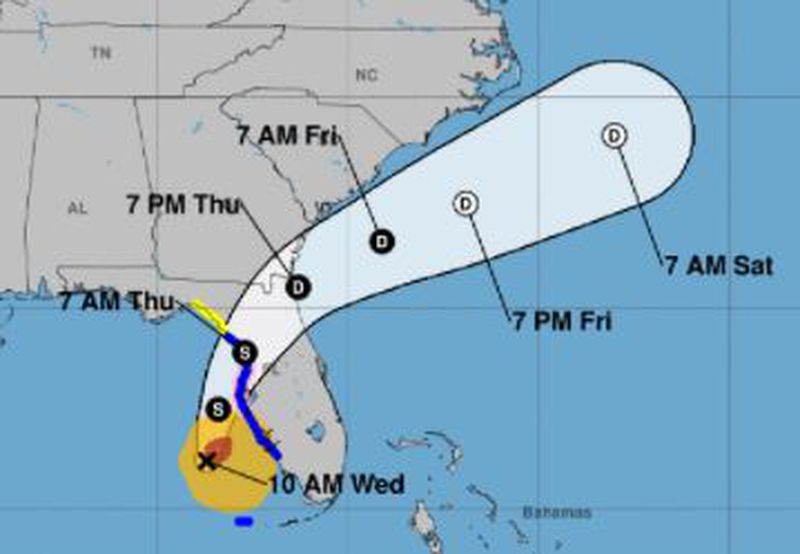
Hurricane forecasting is taking a big step forward this year.
Scientists say an upgrade to the National Oceanographic and Atmospheric Administration’s Global Forecast System weather model, also known as GFS, will help improve track and intensity forecasting for storms as well as landfall locations.
One report said the GFS upgrade could provide as much as an extra 36 hours in lead time to prepare for a hurricane.
A local hurricane expert was skeptical of that number. But he agreed this is a significant upgrade.
“I would say improving the lead time out to 36 hours may be the upper bounds,” said Ben Kirtman, professor of atmospheric sciences at the University of Miami Rosenstiel School of Marine and Atmospheric Science. “But there’s no question this model is better than the previous one.”
“This is a real big upgrade.”
When NOAA tests such systems, it uses data from previous storms. NOAA tested this upgrade on some storms from 2018 hurricane season, as well as the entire weather period since May 10, 2019.
“The result is the tropical cyclone track and intensity forecast, from our retrospective testing, has shown a 10 to 15% improvement,” said Vijay Tallapragada, chief of the Modeling and Data Assimilation Branch at NOAA’s Environmental Modeling Center.
Tallapragada said that 10% to 15% improvement will provide more time to predict landfall for a tropical cyclone and give a better idea of where tropical cyclones are likely to form, which will help provide more accurate watches and warnings.
And there are other areas of forecasting that will improve as a result of the upgrade, experts said.
Kirtman said the upgraded GFS will be coupled with an ocean wave model, WaveWatch III, that should allow for better weather hazard forecasts three or four weeks in advance, and forecasts on weather systems, such as El Niño and its impacts, could come as much as six months in advance, he said.
“This is really the path to improving forecasts across a variety of time scales,” Kirtman said, “not just hurricanes and immediate weather.”
Forecasts of snow, rain, wind, and temperature should all be better due to better GFS resolution, which improves to 127 vertical levels from the current 64 vertical levels.
Practical applications are widespread.


